Whether you are hosting an outdoor music festival, a tech summit, a marathon, or a community market, static PDF maps get lost. MakeMeMap gives your visitors a live interactive guide:
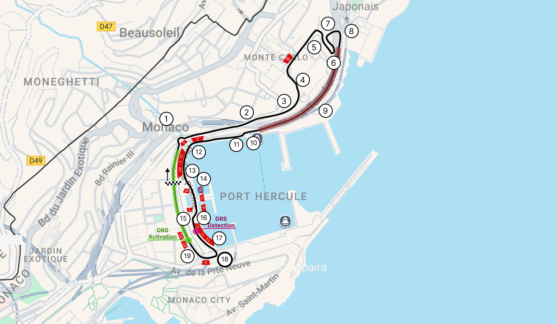
Interact with the live example below: zoom in to inspect stages and facilities, view category filters, and test mobile usability.
Create MapNo coding skills required. No complicated GIS tools. Ready in minutes.
Plot key stages, registration desks, food courts, and emergency exits. Add dates, operating hours, speaker details, and links to tickets or lineups.
Match your festival or corporate visual identity. Choose custom marker icons, color palettes, and draw race courses, walking paths, or restricted areas.
Copy a simple embed snippet for your event website, or generate a QR code to print on badges, flyers, banners, and digital display signage.
Showcase stages, performance schedules, food and beverage zones, restrooms, and medical tents with instant category filtering.
Draw full route lines, elevation marks, water stations, spectator viewing zones, and emergency access points.
Guide attendees through complex exhibition halls, partner sponsor booths, workshop rooms, and networking lounges.
Share ceremony venues, reception halls, recommended hotels, parking lots, and brunch spots with visiting guests.
Highlight local vendor booths, craft stalls, live cooking stations, and parking options in a clear, accessible visual layout.
Display courts, fields, ticket gates, team paddocks, merchandise stores, and spectator stands with custom numbering.
Respect attendee privacy. Unlike Google Maps embeds, MakeMeMap requires no cookie consent banners or personal data tracking.
Last-minute schedule shift or stage change? Edit pins in seconds and your live embedded map refreshes immediately.
Every event map gets a fast standalone link ready to turn into QR codes for event programs, posters, and entry wristbands.
(forever)
(per year)
(per month)
(No credit card required)